Exhibits don't have to be expensive to be interesting.

Converting Collections on Budget
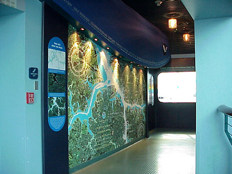
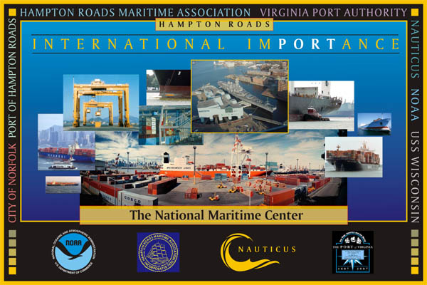
A lot of influences affect the cost and success, or failure, of an exhibit. Advance organization, content clarity, simplicity, durability, involvement, relevance, real interest, and many other factors give an exhibit true stopping power, instead of little more than a passing glance. Interest is a thing apart from money. The object of the Nauticus Revitalization program was to bring the National Maritime Center out of the red. Exhibits were overbuilt, but under developed--high tech, but low in clarity. There was no clear storyline. Cost for exhibits was critical. Initial exhibit concept work discovered the availability of decommissioned nuclear submarines at no cost. The USS battleship Wisconsin was donated by the Government to Nauticus for free. NOAA implemented a hydrographic survey of the Elizabeth River, just outside of Nauticus (at its own expense) and Russia offered a satellite photo (shown below) of the City of Norfolk to be used for an ortho-photo-mosaic overlay on a map. All this at no cost.
The result saved millions in content for the Nauticus Revitalization Program.
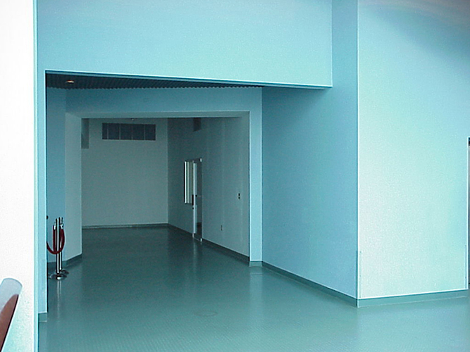
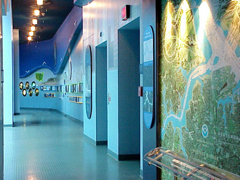
Challenge: turn a bare hallway into 1500 square feet of relevant interest.
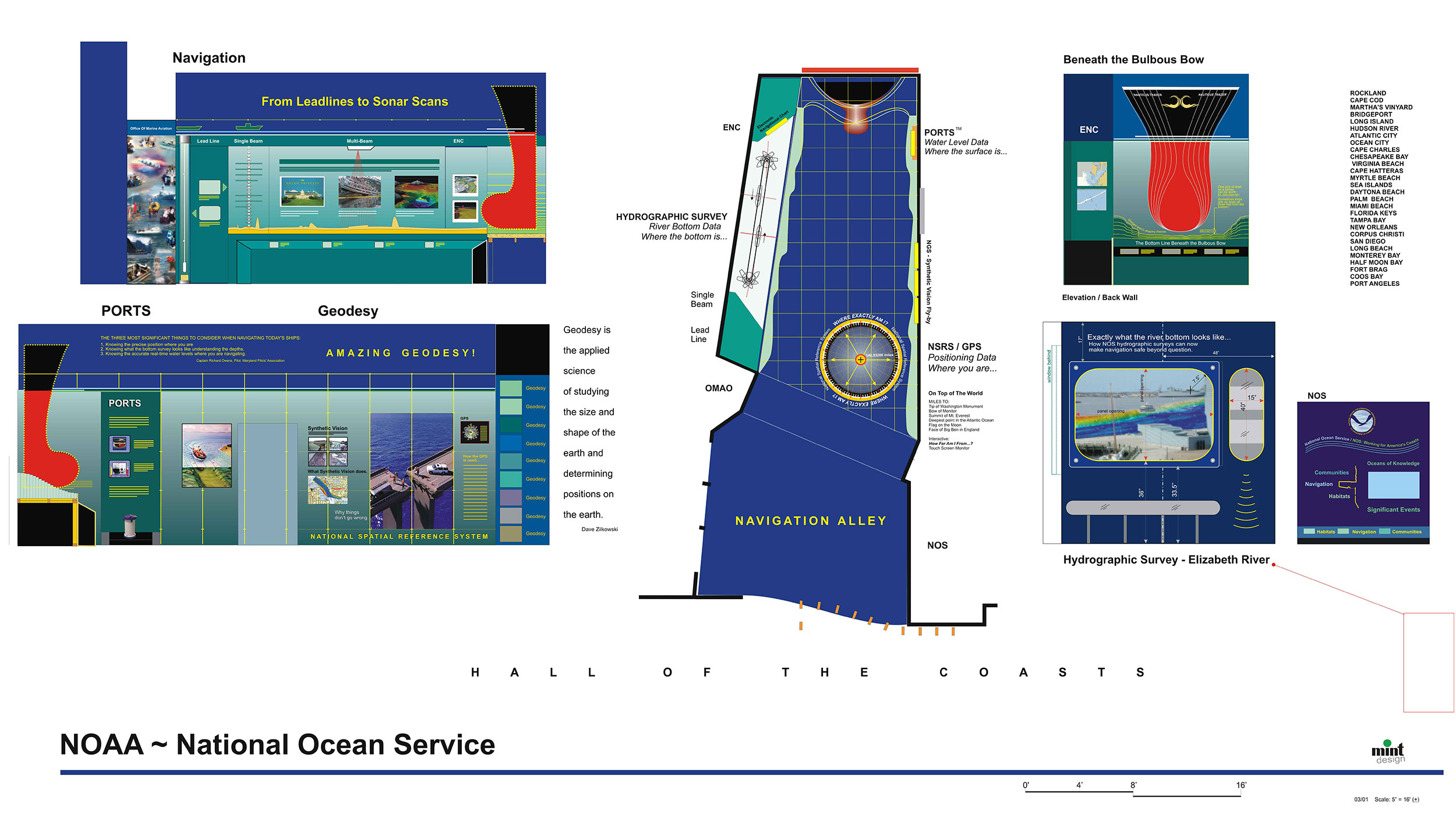
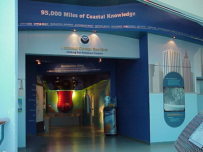
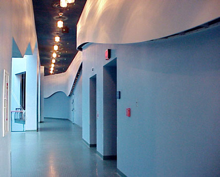
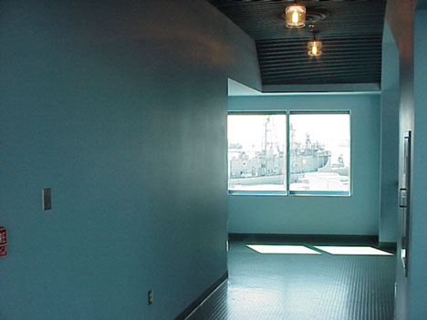
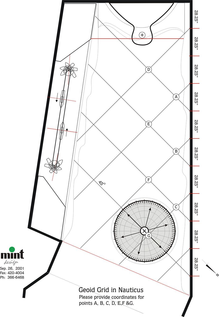
This exhibit area engineered a full size wave with a ten foot swell to be built on to an angled hallway wall, with a 104' optical fiber course moving along the curvature of the ocean surface model. NOAA logo flies along coastal ocean • Full size 104' optical fiber ocean wave • Eight foot bulbous bow model • Laser hydrographic survey • Elizabeth River hydrographic survey superimposed on view from window • valid geodetic benchmark showing key distance to global points • 3D national spatial reference grid set to true latitude-longitude coordinates.
Download Article by MINTdesign on: What Makes Interest?
SPACE CONVERSION
What can you do with a side area that isn't used for anything?
You can fill it with interest, adding value to your customer experience index. (CXi)
The Bulbous Bow
Many people have no idea what a bulbous bow is, or what big ships need when they bring nearly everything we use into the country. Since their introduction into cargo ship design, they have saved billions in fuel. Where did the design come from?
Dolphins!
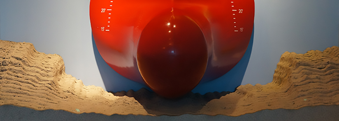
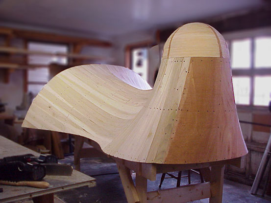
The bulbous bow exhibit shows how vital emerging technology is to each of us. For example, the ten foot scale model below shows how close ships ride over river bottoms--two feet in real draft. Why? Because every inch is worth $2,000,000.00 in cargo. Try that on a changing tide! Ship design and NOAA navigation technologies were the interest points of this exhibit.
MAKING A BULBOUS BOW
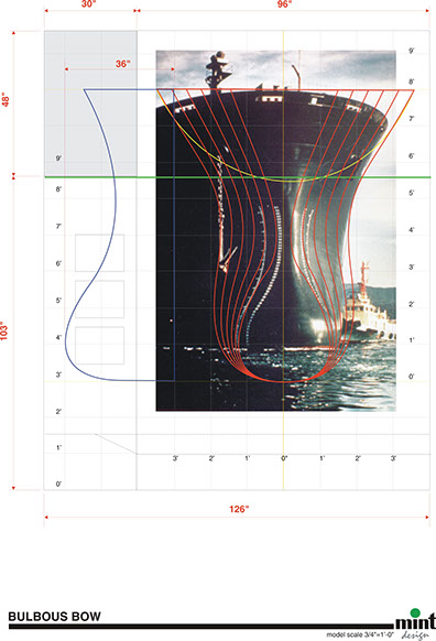
Making a ten foot scale model of a bulbous bow enabled a lot of information to be conveyed at a relatively low cost, using vivid visual communication to sink the point, so to speak. Design is based on contours derived from an actual bulbous bow.
Turning boring into interesting.
EXHIBIT ENHANCEMENT
orthophotomosaic
What on earth is an orthophotomosaic?!
Exactly.
What we see on our screens everyday--cartographic maps merged with satellite imagery--was years in development at NOAA. (Above) It's not as easy as it looks. Nearing completion, we turned this satellite photo into a twenty foot super-graphic displaying an amazing new technology, now commonplace in everyone's phone.
Nauticus and NOAA Exhibits • 3000 Square Feet at Half the Cost.
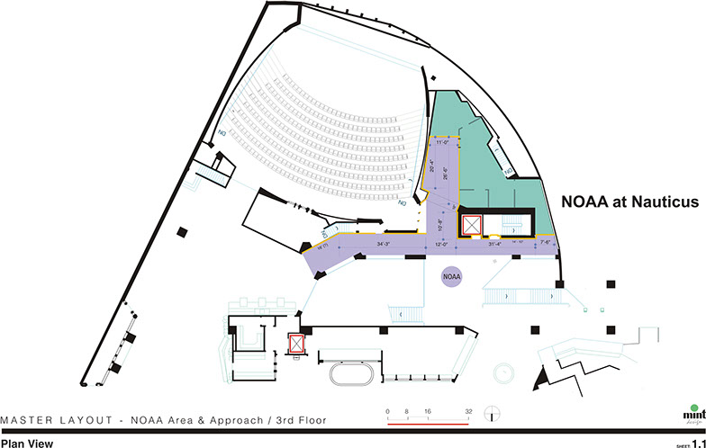
One area of development was the NOAA Hall of the Coasts. Since the opening of Nauticus, this area was a simply a hallway connecting two exhibit areas, (shown in purple below.) An exhibit criteria definition outlined a conversion of a very narrow space into visual exhibits highlighting NOAA's technologies in range of navigational services, including NOAA Goes 11 GPS satellites. Our job was to make blank hallways, dead corners and failing exhibits interesting.
The National Spatial Reference System
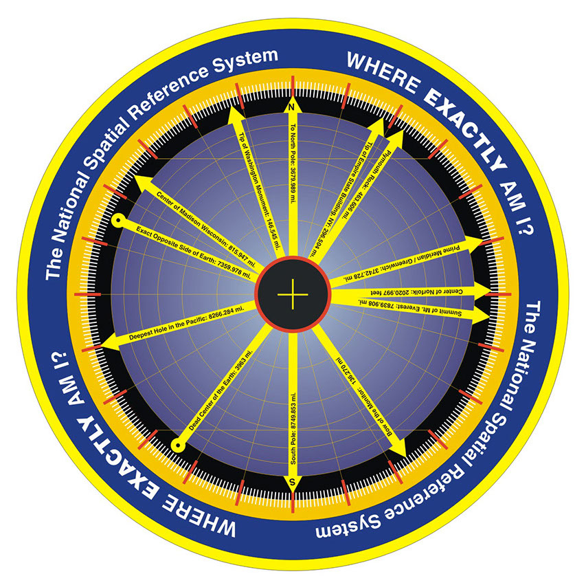
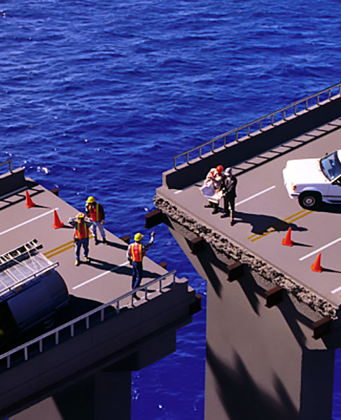
You may not be familiar with the spelling or the system. All GPS and its principle use is based on it. It was essential for this exhibit to clarify the way geodesy works with ships going under bridges in changing tides, and planes knowing their altitude in order to land. The system of calculating point distances in a global measuring grid is accurate to five decimal points--exactly!
Accurate Grid Set to Lat-Lon Coordinates
Through a system of mirrors, a registered geodetic benchmark was placed in the center of this illustration. Then the coordinates enabled calculations showing the exact distance from that point on the floor to the landmarks in the compass. True north was extablished, and a yellow cord grid was stretched in the space above. Actual latitude and longitude coordinates in the NSRS were marked on the walls.
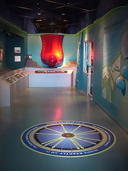
ACCURATE GEODEDIC BENCHMARK INSTALLED IN FLOOR
NOAA ILLUSTRATION DRAMATIZING NEED FOR GEODESY REFERENCE
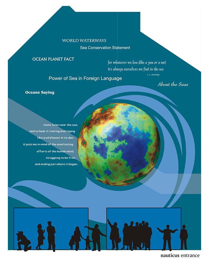
A 24' globe hung in the lobby immediately engaged visitors when they entered.
ROPOLOGY? A 2" rope that pulls a million pounds?
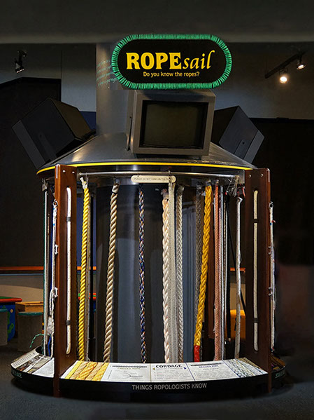
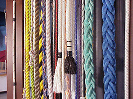
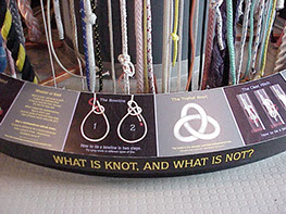
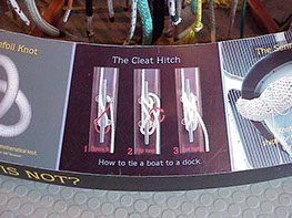
Identity and exhibitry merged in this exhibit. Unused space was converted, connecting the name of the exhibit, "RopeSail," to the name of a popular, local event--"OpSail." The RopeSail exhibit began as a blank building column. When it was discovered that there were thousands of types of ropes, and one remaining "ropewalk" in the US, and only one PHD in "Ropology," MINTdesign turned the column into an interactive exhibit where children could tie knots and direct comparison between the strength of spider web and plasma ropes could be understood. This exhibit may seem simple and small, but ropology is so fascinating that the exhibit survived four full area renovations. Ropes were donated at no cost, in exchange for small manufacturer credits.
PLANNING
EXECUTION
EXHIBIT DESIGNED TO CONCEAL STORAGE
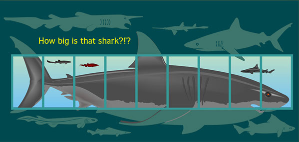
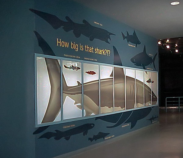
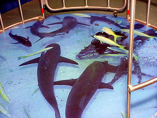
The row of windows in the wall below were in an area that was used for storage. Since the room within was well lit, an exhibit was created to cover the windows with a translucent super graphic creating the illusion of an aquarium. The exhibit showed the relative sizes of various types of sharks, full scale.
NORFOLK PORTS • EXHIBIT CONCEPTS
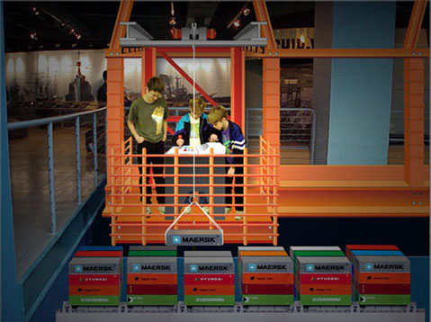
A FAILED EXHIBIT CONVERTED TO INTEREST.
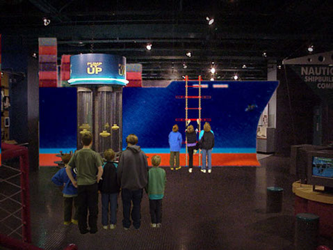
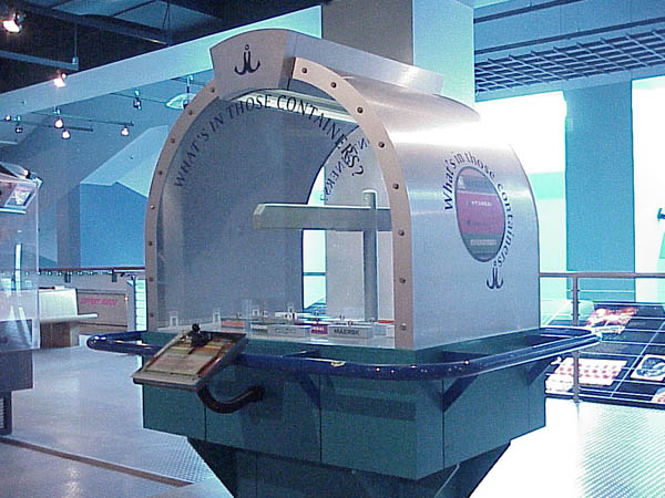
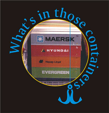
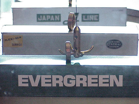
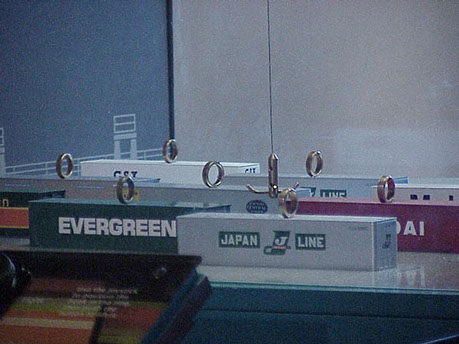
The original exhibit in this container was a total failure--an insipid fishing game using robotic interaction with neither meaning nor relevance. The challenge was to use the same mechanism, adapting it to a new interactive theme. Everybody sees stacks of containers coming into Norfolk's ports, but very few people have any idea what's in thme. So by catching the robotic driven hook in a ring, you could lift the container and see what comes in the ports, its extent in tonnage, and its value in US dollars..
SPECIAL CONSIDERATIONS
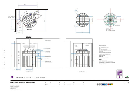
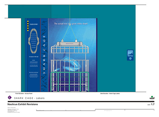
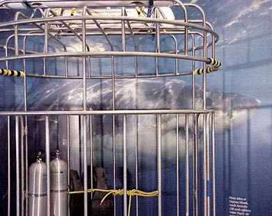
Because it was designed to be entered, the Shark Cage Exhibit required one particular feature in order for it to conform to ADA Guidelines. It needed to have two doors for ingress and egress of anyone using a wheel chair. Although no shark cage would actually have two openings, an allowance was made so that there were no exceptions to the experience offered by the exhibit.
Interactive Shark Cage • ADA Compliant
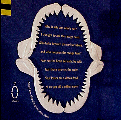
A POEM
As an educational tool, a poem was written to show that humans are far more dangerous to sharks than sharks are to people; with a comparative bite radius.
ELIZABETH RIVER PROJECT • TRAVELING EXHIBIT
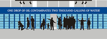
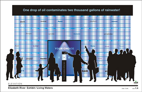
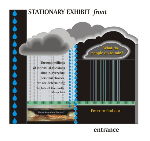
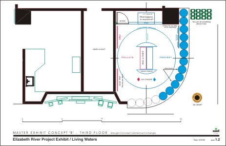
HOW INTERESTING IS NON-POINT SOURCE POLLUTION?
The Elizabeth River Project was organized to clean up the river and publicize its value to the region, as part of the Chesapeake Bay Watershed. When 300 million people share properties bordering the bay, they don't realize what cumulative effect their fertilizers, pet foods, insecticides, and petroleum based waste has on the bay. It is the single greatest source of pollution. Created exhibits that would ingrain this into public awareness was the objective.
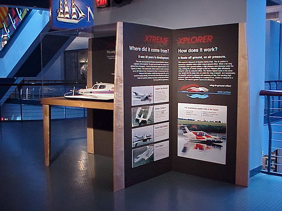
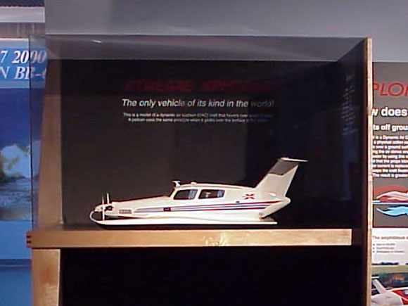
XTREME EXPLORER - CRAFTED EXHIBIT
HOME | BRANDS | GRAPHICS | EXHIBITS | PRODUCTS | ABOUT | TESTIMONIALS | CLIENTS | POLICIES | CONTACT


